
Union City Neighbor Lookup Sources
A block inquiry is strongest when every source has a defined role. Hudson County GIS supplies parcel shapes and an address attribute. State and local property resources can show parcel, block, lot, assessment, property class, and visible owner or mailing fields. AcclaimWeb supplies recorded-transfer details. A voter query is only a named person's exact-name check. City notices, library records, and historical sources provide civic or time-specific context, not proof that someone lives at a particular address today.
| Source | What It Shows About a Block | Access |
|---|---|---|
| Hudson County GIS | Parcel shapes, address attributes, nearby parcel context | Public viewer and confirmed parcel service layer |
| New Jersey property tools | Block, lot, assessment data, visible owner or mailing details | Public search; annual data and redaction limits |
| Hudson County deed index | Recorded transfer sequence and legal descriptions | AcclaimWeb plus in-person search room |
| New Jersey voter lookup | Named voter status and limited election information | Exact-name service, not a block roster |
| Union City notices | Public events and civic activity on named streets | City news and archive records |
| Libraries and maps | Historical street, school, newspaper, and building context | Library, archive, and map collections |
Parcel ownership is not the same as present occupancy. A mailing address can be outside Union City, owner names can be lawfully redacted, and a recorded deed may reflect an earlier transaction. Use the source's date and field label. For current information, confirmation comes from the office that maintains the record, not from an inferred list of people surrounding an address.
Note: Keep the block and lot, source date, and recorded instrument number separate from assumptions about who is present on a parcel.
Mapping Union City Neighbor Parcels
The verified parcel method begins with the official map, then expands by only one parcel at a time. The Hudson County parcel service confirms a field named Parcel_Address. The reviewed research did not verify the live viewer's buffer, radius, owner-link, or full layer controls, so do not treat any of those functions as confirmed. A map search, parcel click, and visible-boundary review are the cautious route described by the record sources.
- Enter the known Union City address in the live GIS viewer or pan to the street, then capture the parcel's displayed address and other visible attributes.
- Record the parcel's block and lot when available. Check the state property route for the same parcel rather than relying on a map label alone.
- Pan to a touching parcel and repeat the attribute check. Move to the deed index only when its recorded transfer trail answers the lawful question.
- Compare legal descriptions, dates, and party roles before connecting records. Stop instead of turning a parcel check into a collection of private household details.
For the longer address-by-address chain, including deeds and historical street records, use the Union City streets directory. The immediate-neighbor method stays focused on the parcels that touch or closely surround one known address.
Union City GIS Parcel Controls
Hudson County GIS is the official ArcGIS entry point for parcel and map layers. Its discovered parcel service exposes Parcel_Address, making it a useful address anchor before any other record is checked. A live map is the proper place to inspect parcel geometry and move visually to adjacent boundaries. The research did not expose the full layer list, zoning, flood, district labels, exact click-to-owner behavior, or a selectable adjacent-parcel tool. Those unknown controls should remain unknown until verified in the active viewer.
The official Hudson County GIS entry point shows the map resource used for a Union City neighbors search.
Use the viewer to orient the parcel and its visible boundaries, then save the map context with the underlying record date before making a deed or assessment follow-up.
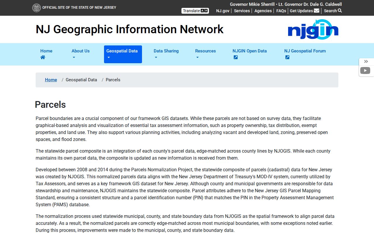
New Jersey's parcel-data and Property Explorer resource adds an address, county, municipality, block, and lot route. It also warns that hosted data, maps, and apps redact owner names under Daniel's Law. Data updates and county-boundary issues can affect how a map appears, so a map display is not a final ownership determination.
The New Jersey parcel-data resource documents the statewide context and redaction notice relevant to a Union City neighbors search.
Compare the state parcel details with the Hudson County viewer and the source office instead of assuming a missing visible owner field means a parcel has no current record.
Union City Neighbor Voter Limits
The New Jersey Am I Registered service is person-specific and exact-name sensitive. The research did not establish a public command that shows every voter on a block. Name changes, spaces and hyphens, initials, nicknames, and spelling variants can affect a match. Any exposed result should be compared with a separate source and should not be used to infer who lives at neighboring addresses.
Near an election, state guidance describes limited, sortable vote-by-mail or early-voting lists that may be available through a written request with stated fields and privacy safeguards. That does not create a general public neighborhood roster. Hudson County election officials and the Union City City Clerk are the proper contacts for a specific question about releasable election material or correcting an inaccurate registration record.
Union City Community Neighbor Leads
Community records can add civic context without becoming a membership list. An official city resource letter identifies the Stack Civic Association at 811 West Street and gives a Wednesday food-assistance contact example. Union City's UEZ planning material refers more generally to neighborhood associations and voluntary community organizations supported by residents and businesses. The reviewed official material does not provide a complete association roster, homeowners list, or published member directory. Do not infer membership, attendance, or residence from a program mention.
| Community lead | What the record supports | Limit |
|---|---|---|
| Stack Civic Association, 811 West Street | Official resource-letter reference and a program contact example | No verified public membership roster |
| Union City UEZ planning material | References neighborhood associations and voluntary organizations | No complete organization list or directory located |
| Union City Public Library | School-era, newspaper, and community context | A library reference is not proof of a person's address |
| Hudson County Genealogical and Historical Society | Family-history, photograph, document, and research leads | No complete online Union City resident roster located |
The City of Union City's 2024 Neighborhood Block Party notice named 7th Street, 8th Street, Central Avenue, 44th Street, and 39th Street as event locations. Those streets can guide a search for dated civic notices or newspaper coverage. They are not formal neighborhood lines, and the notice does not identify a resident list.
Note: Ask an organization for its public contact channel only; avoid requesting or assembling private participant information.
Union City Neighbors in Dardanelles
The city's history places the Dardanelles around Central Avenue and 23rd through 27th Streets in the 1890s. It describes a five-block area with more than 19 nationalities and later migration waves. The label is a useful historical search term for newspapers, maps, directories, family papers, and historical-society files, especially when a modern ZIP or street-only query comes up empty. It is not a boundary label for every current record, and no individual identity should be assigned from a surname or neighborhood name.
For an older block, the 1936 Hudson County Sanborn volume contains 84 sheets and includes Union City. Sanborn material can show building footprints, uses, construction details, and street context. It does not show occupants. The City Master Plan also flags Sip Street, churches, Palisades Avenue near the Reservoir, 23rd Street, and New York and 2nd Avenue as leads for further historic-preservation analysis, not as verified current designations.
Union City Neighbor Record Comparison
Original records are more useful than compiled neighbor tools because they reveal who keeps the information, when it was recorded, what each field means, and where an error can be corrected. A compiled category can combine old addresses, public filings, and marketing data with unclear refresh dates. That makes same-name mixes and stale address links more likely. Start with the parcel, property, deed, election, or library custodian whose record directly answers the question.
| Official record route | Compiled neighbor category | Practical difference |
|---|---|---|
| Named custodian and source date | Source chain may be unclear | Official records make a correction path visible |
| Defined parcel, case, or instrument fields | Merged address and name fragments | Field definitions reduce a same-name error |
| Lawful redactions and access limits | Unknown freshness or suppression timing | A missing field may be protected, not absent |
A public parcel result can identify an owner or legal property record without naming every neighbor. Compare the record date, municipality, block and lot, and transfer detail before relying on it. The resident's current address and private relationships remain outside the purpose of a block lookup.
Union City Neighbor Privacy Limits
Many details about a block are not public. Utility accounts, delivery records, motor-vehicle addresses, private membership information, and protected addresses are not substitutes for a parcel or deed source. The New Jersey Address Confidentiality Program can provide eligible participants with a substitute address and mail forwarding. Daniel's Law can require suppression of protected officials' and families' home information. A redacted map or tax result must be respected rather than reconstructed from other fragments.
Correct a property, deed, voter, or municipal record through the office responsible for it. A focused question about a parcel, historical block, community notice, or recorded transfer should end once that purpose is met. Public availability does not authorize watching, contacting, or exposing private people.
Lawful use. Union City neighbor records support lawful personal, civic, property, and historical research. Do not use them to stalk, harass, intimidate, or expose any person.